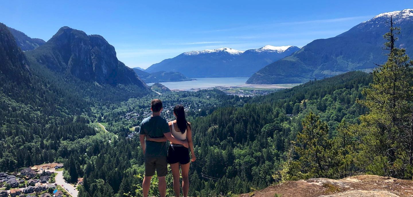
Mount Crumpit

@joeronniemo
@joeronniemo

Exposed granite features, tall trees and lush forested areas

Full of variety, with plenty of scenery, the Mount Crumpit trails provides a relatively short, steep and rocky climb to access views of the surrounding valley, including the Stawamus Chief, Valleycliffe neighbourhood and Howe Sound. 

Getting There

From the Adventure Centre, travel 1.3km south on Highway 99 before turning left off the highway onto Clarke Drive and continue on for 180 m. From here, make a right onto Guilford Drive before turning left onto Westway Avenue. Stay on Westway Avenue for 2.1 km, where you will find the trailhead on the outside edge of the bend in the road on Cherry Drive. Please keep in mind this is a neighbourhood area and be respectful of noise and available parking.

Oh, You'll Want To Read This

You may share this trail with mountain bikers & trials bikes so keep an eye out for them. 

Some route finding may be required at some points along the trail.

The best times to visit this trail are May through October.

Type: Hiking
Area: Valleycliffe
Difficulty: Difficult - Intermediate
Duration: 2 - 3 hours
Distance: 5 km
We value your privacy
We use cookies to enhance your browsing experience, serve personalized ads or content, and analyze our traffic. By clicking "Allow Cookies", you consent to our use of cookies. For additional details view our Privacy Policy.
Cookie preferences

You can control how your data is used on our website. Learn more below about the cookies we use by reviewing our Privacy Policy.

Your cookie preferences have been saved.