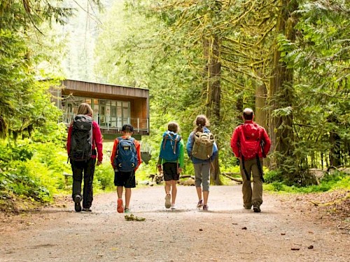
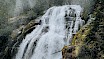
Crooked Falls

@emilybrundrett
@emilybrundrett

Hike into the splash zone

Follow the Sigurd trail up a steep rocky section before levelling out onto a retired forest services road. You will soon turn into the forest on a single/double track trail. From here on you will start to gain elevation and it may feel like a bit of a grind. Continue past a huge boulder where you will begin to ascend several switchbacks before arriving at a junction. Follow the yellow sign pointing left, take this trail for the final 300 metres to Crooked Falls. 

Getting There

From Highway 99 take a left on the Squamish Valley Road across from Alice Lake Provincial Park. The drive to the trailhead offers several good pullouts beside the Squamish River. Keep your eyes peeled for the best viewpoints if you have a good eye you may even be able to spot the Jim Haberl Hut way up in the Tantalus Range across the river. After the Squamish Valley Road turns to gravel watch for a large bridge at the 24.5km mark. Cross the bridge onto Ashlu Road and continue for around 1.5km, park your car in front of a small bridge. Cross the bridge by foot; the trail begins next to an electrical pole on the lefthand side of the road.

Oh, You'll Want To Read This

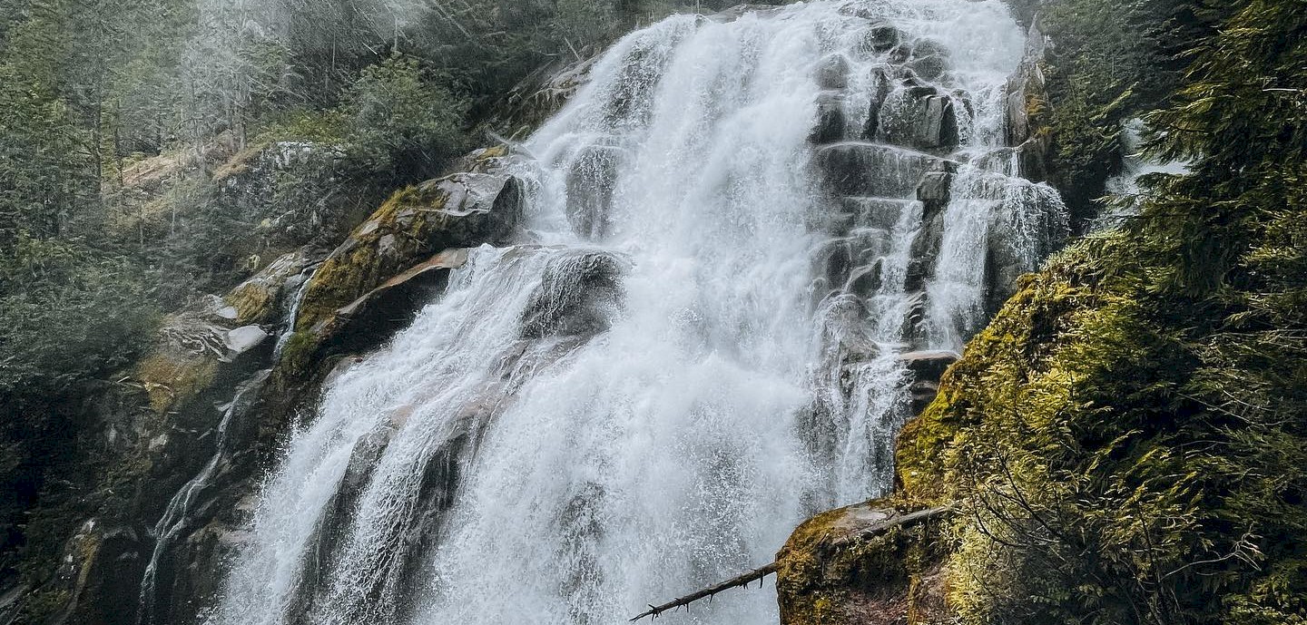
The best times to visit this trail are April through November.

Dogs are welcome and may be off-leash in some areas.

Take care on the Squamish Valley Road during or soon after heavy rain.

Type: Hiking
Area: Other
Difficulty: Intermediate
Duration: 3 - 3.5 hours
Distance: 6 km
We value your privacy
We use cookies to enhance your browsing experience, serve personalized ads or content, and analyze our traffic. By clicking "Allow Cookies", you consent to our use of cookies. For additional details view our Privacy Policy.
Cookie preferences

You can control how your data is used on our website. Learn more below about the cookies we use by reviewing our Privacy Policy.

Your cookie preferences have been saved.